
Verlässliche Daten über unsere Lebensgrundlage
In der Schweiz gibt es immer mehr Pflanzenarten, die aus anderen Regionen oder Kontinenten stammen. Wenn diese Arten verwildern und in grösseren Beständen auftreten, können sie einheimische Pflanzen zurückdrängen, wirtschaftliche Schäden verursachen oder die Gesundheit des Menschen beeinträchtigen. In Wäldern kommen solche Arten vor allem in warmen Tieflagen und in Siedlungsnähe vor. Es handelt sich meist um bewusst eingeführte Pflanzen, die im Gartenbau verwendet werden und dann verwildern.
Nobis, M. (2008). Invasive Neophyten auch im Wald? Wald und Holz 8: 46-49.
Goal, Scope and Background. In the framework of LCA, land use is broadly accepted as an impact category. However, the methodology for the assessment of damages on the natural environment was and still is the subject of discussion. The main objective of this paper is to contribute to that discussion by providing a consistent methodological framework for the assessment of land occupation and transformation.
Methods. We clarify the context of LCA relevant land use decisions. Based on that, we develop a formal model with damage functions and generic characterization factors for quantifying damages on ecosystems from land occupation and land transformation. The characterization factor for land occupation and land use change is labeled Ecosystem Damage Potential (EDP). We analytically address the substitutability of area and time occupied in order to produce a constant output.
Results. Based on the proposed method, it is possible to calculate the damages from complex series of land transformation, land occupation, and land restoration. A main feature of the method is that land transformation is assessed based on a factual or virtual, restoration time. This means that the damage of land transformation is largest for land use types which are difficult to restore and need extremely long to develop (e.g. thousand of years and more for primary forest and peatbog). In addition, we could show that area and time of occupation are not substitutable. The more severe the damage potential of a specific land use type is, the better it is to minimize the area and maximize the duration of occupation.
Discussion. An approach for the assessment of pure land occupation and land use change was developed in this paper, which is not geographically referenced. Developing geographically-referenced land use inventories and impact assessment methods can increase their accuracy. The information cost to provide geographically referenced data on land use for practical LCA applications, however, would increase enormously. Conclusions. An impact assessment method for land use with generic characterization factors improves the basis for decisionmaking in industry and other organizations. It can best be applied to marginal land use decisions; that is, to decisions in which the consequences are so small that the quality or quantity of environmental parameters of a region is not noticeably altered.
Koellner, T., & Scholz, R.W. (2008). Assessment of land use impacts on the natural environment. Part 2: Generic characterization factors for local species diversity in Central Europe. Int J LCA 13 (1): 32-48. https://doi.org/10.1065/lca2006.12.292.1
Species rarefaction curves have long been used for estimating the expected number of species as a function of sampling effort. Nonetheless, sampling species based on standard plant inventories represents a cost expensive approach. In this view, remotely sensed information may be straightforwardly used for predicting species rich sites on the strength of the Spectral Variation Hypothesis which predicts that sites with a higher spectral (environmental) variability will show a higher species diversity.
In this paper we present spectral rarefaction, i.e. the rarefaction of reflectance values derived from satellite imagery, as an effective tool for predicting bio-diverse sites.
Rocchini, D., Wohlgemuth, T., Ricotta, C., Ghisleni, S., Stefanini, A., & Chiaruacci, A. (2009). Rarefaction theory applied to satellite imagery for relating spectral and species diversity. Rivista Italiana di Telerilevamento, 41(2), 109-123.
We consider the species-area problem in ecology. The aim is to estimate the total number of species in a large area by extrapolating a species-area curve. Starting with a stationary random field as the background process that is decisive of species occurrence, we argue that asymptotically, the number of unseen species and the species number increment will decrease hyperbolically with increasing area. In particular, stationarity of the background process leads to a fast hyperbolic rate. Some vascular plant species richness data from Switzerland are used to motivate discussions.
Ghosh, S. (2009). The unseen species number revisited. Sankhya: the Indian Journal of Statistics 71-B: 137-150.
The number of species recorded on Red Lists in Central European countries is high and includes several species that already have disappeared. This suggests that the total species number is declining in these countries. However, besides disappearing species there are species immigrating into new areas, either due to human help or due to natural area expansion, as well as formerly extinct species that are remigrating. Regional extinction of some species therefore does not necessarily lead to a decrease in total species number. The study analysed the influence of extincion and of immigration on total species number in Switzerland for the last 107 years and for several taxonomic groups (mammals without bats, breeding birds, reptiles, amphibians, fish, cyclostomes, butterflies, grashoppers and dragonflies). During this period total species number clearly increased (+ 19 species). This increase is mainly due to species that immigrated autonomously from other European countries. Most of them are wetland inhabitants.
Martinez, N., Küttel, M., & Weber, D. (2009). Deutliche Zunahme wildlebener Tierarten in der Schweiz seit 1900. Naturschutz und Landschaftsplanung 41(12): 375-381.
- Neophyte species richness at the landscape scale under urban sprawl and climate warming.
- Combining spatial and phylogenetic eigenvector filtering in trait analysis.
- Indikatoren für Ökoqualität im Sömmerungsgebiet.
- Species richness and occupancy estimation in communities subject to temporary emigration.
Sonderheft Hotspot
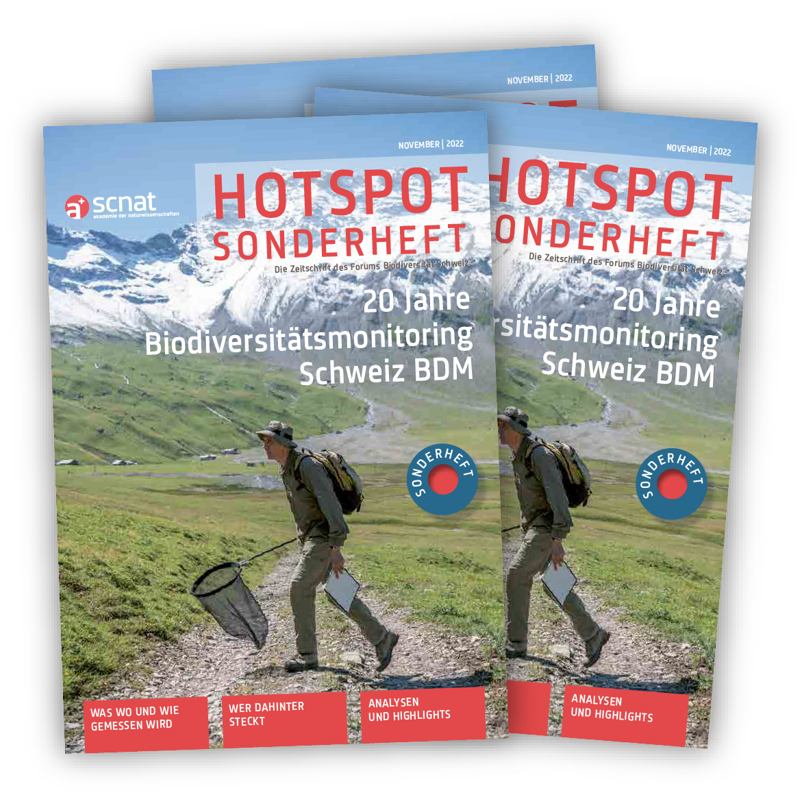
Das Hotspot Sonderheft zu 20 Jahren BDM zeigt, wer hinter den Daten steckt und beleuchtet aktuelle Entwicklungen der Biodiversität.
Publikationen
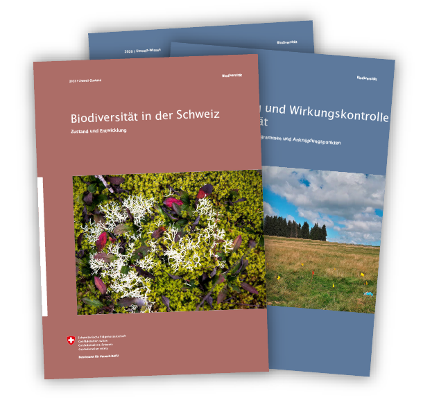
Sammlung aller veröffentlichten wissenschaftlichen Publikationen mit Daten des BDM: